
Desidera
Site-specific climate intelligence for anticipatory action and resilience
Climate risk is becoming more complex, more localized, and more dynamic than ever before. Yet many organizations still rely on regional averages, historical datasets, and reactive monitoring systems that struggle to reflect today’s changing climate.
Desidera is GreenAnt’s proprietary climate analytics platform, built to help organizations anticipate, understand, and manage climate risk before disasters occur.
All-in-one remote sensing & prediction tool
By combining satellite Earth observation, artificial intelligence, advanced hydrological-hydrodynamic modeling, and 20+ years of proprietary analytics, Desidera delivers highly localized climate intelligence that supports better decisions, earlier action, and more effective risk mitigation.
Desidera’s outputs are integrated into a streamlined interface complete with map visualizations and dashboards displaying your tailored insights.

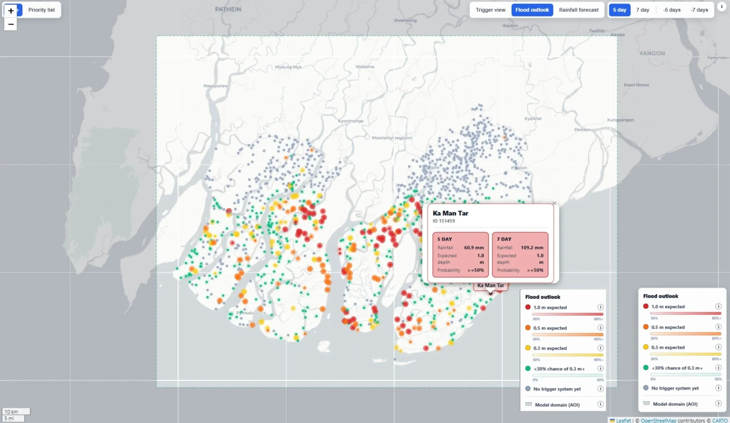
Obtain bespoke insights with Desidera’s suite of capabilities:
Flood risk modeling and prediction, historical flood detection frequency, near-real-time flood monitoring, and flood depth forecasting
Drought forecasting and drought risk analysis
Crop type & health analysis, crop yield forecasting
Soil moisture, temperature, and drainage assessment
Land use and land cover monitoring
Deforestation and biomass loss detection
Disaster response trigger identification for anticipatory action
Localized early disaster warnings via automated weather forecast scanning
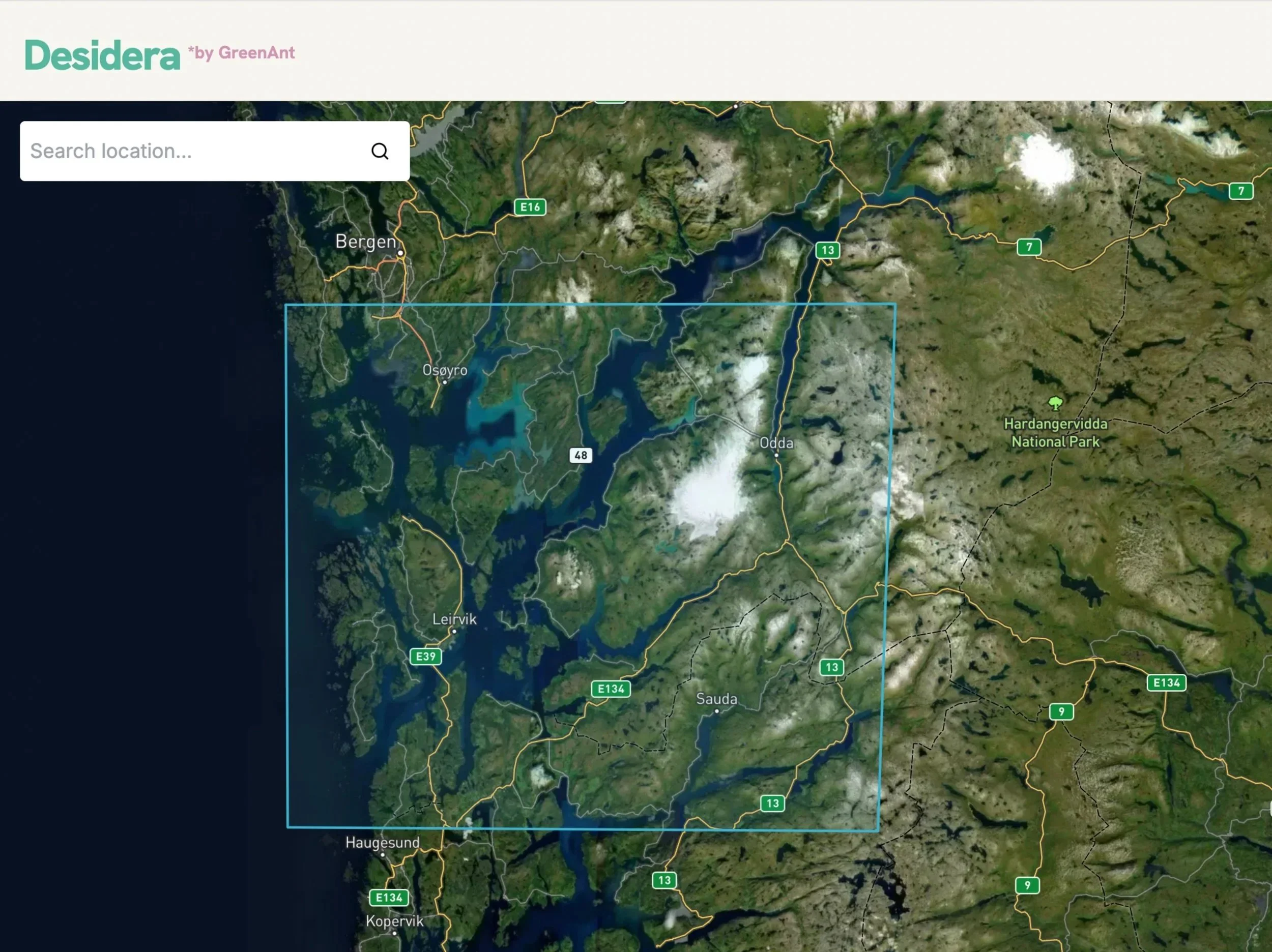
All in one, streamlined platform accessible via web browser. No costly equipment or inconvenient site visits needed.
Climate intelligence built for a changing world
Traditional risk assessments often tell you about regional, historical averages. But as climate change worsens and weather patterns grow more volatile, historical disaster data alone are becoming more and more insufficient when considering future trends. In other words, looking to the past alone doesn’t tell us much about the future.
Instead, Desidera tells you the risk for a specific neighborhood, factory, farm, municipality, or even an individual address. It does so by looking at the conditions on the ground today, as well as over the past 50 years.
Rather than relying solely on historical statistics, Desidera continuously combines live satellite observations with sophisticated, proprietary modeling to assess how future weather is likely to interact with real-world landscapes. Using radar and optical satellite imagery, hydrological and hydrodynamic models, AI, and proprietary analytics, the platform creates “digital twins,” or virtual simulations, of the target area being analyzed.
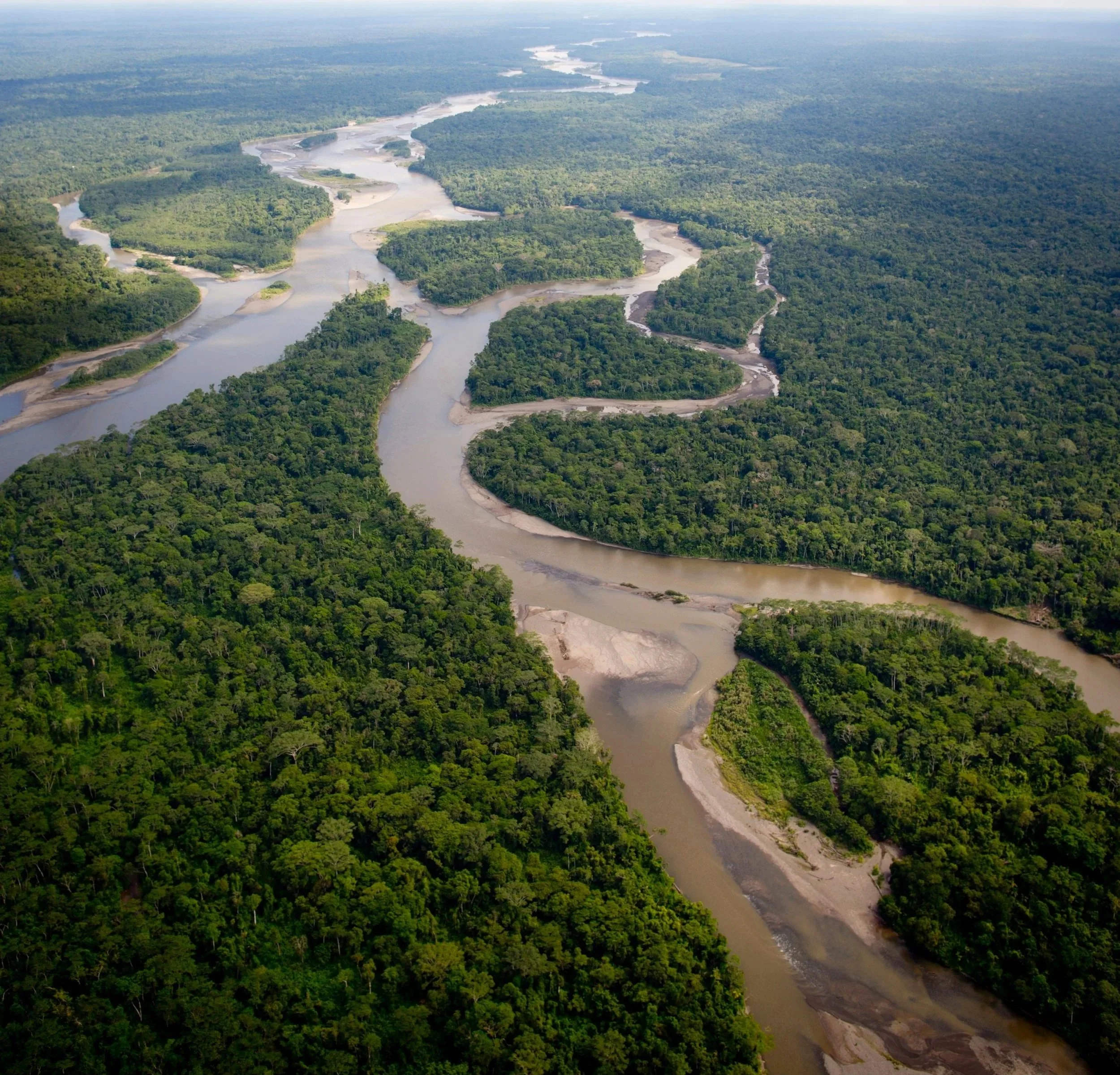
The result is a dynamic view of climate risk that reflects current environmental conditions rather than yesterday’s climate. Every component is designed to transform complex environmental data into practical, operational decision support.




Flood prediction and rainfall-to-flood thresholds
One of Desidera’s core innovations is its ability to identify rainfall-to-flood thresholds (RFTs). Rather than calculate historical flooding averages or generic extreme weather indicators in a given area to generate a corresponding flood risk profile, Desidera asks a more important question:
How much rainfall will actually cause flooding at this exact location?
To answer this, Desidera uses its digital twins to model the interaction between accumulated rainfall across an entire hydrological basin and the specific local environment of the target area, incorporating factors such as:
Terrain and elevation
Soil moisture levels and drainage capacity
Land cover
Coastal water levels
Storm surge
River discharge
Surrounding hydrological systems
What results is a scientifically-calibrated accumulated rainfall threshold (our “rainfall-to-flood threshold” or RFT). This threshold represents the quantity of rainfall expected to trigger flooding of various depths at that given location.
Because every location behaves differently, every threshold is location-specific.

From forecasts to early action
Once rainfall-to-flood thresholds have been established for a site, Desidera can be tasked to continuously ingest local meteorological forecasts to scan for its thresholds. If a threshold is forecasted, Desidera automatically recognizes it and sends out an early flood warning (via API, email, signal, or other social media). Alerts can be configured according to user-defined probability levels and flood depths, allowing organizations to tailor notifications to their operational requirements.
Whether the early warning recipient is a household, municipality, humanitarian organization, business, or government agency, Desidera provides the information needed to act before flooding occurs.
Thresholds and automated warnings can be used as anticipatory action triggers. When a threshold is forecast to be exceeded and stakeholders are alerted to an oncoming disaster, they can deploy mitigation protocols days before the disaster hits.

Desidera’s monitoring and forecasting capabilities come together to serve as an end-to-end risk modeler, real-time tracker, early warning system, and anticipatory action tool that supports operational decision making. Desidera’s interactive map visualizations, dashboard trigger views, and custom integrations help risk managers and response teams see the full picture - including threshold probabilities, future outlooks, confidence levels, and multi-hazard indicators like predicted flood depth and storm surge.
Teams use Desidera’s predictive capabilities to:
Monitor developing hazards
Trigger early warning protocols
Support disaster preparedness and protect at-risk assets
Determine the most effective time and place to launch disaster interventions
Guide operational decision-making
Power anticipatory finance and forecast-based insurance products like GreenAnt’s Anticipatory Natural Trigger (ANT) model
With GreenAnt’s ANT framework, Desidera’s flood and drought thresholds are taken a step further. The ANT sets out a model for a novel financial tool that links the forecast-based thresholds to an automated payout mechanism in the form of either a forecast-based weather derivative or an anticipatory parametric insurance product. When Desidera recognizes thresholds in a local forecast, it triggers an automatic signal and unlocks preemptive disaster funding issued by a third party to be deployed to mitigate disasters and reduce loss and damage.
More than an early warning system

Desidera’s other real-time monitoring & modeling features enable even more resilience interventions:
Desidera’s crop analysis supports farmers, agribusinesses, and traders monitor yields and anticipate volatility
Desidera’s deforestation monitoring supports supply chain managers and environmental agencies track biomass loss and ensure ESG compliance
Desidera’s environmental health and land cover change analysis empowers consultants, land owners, and risk managers to understand trends on the ground and conduct due diligence
How is Desidera being deployed today? Learn more about our active projects:
Next-generation technology stack
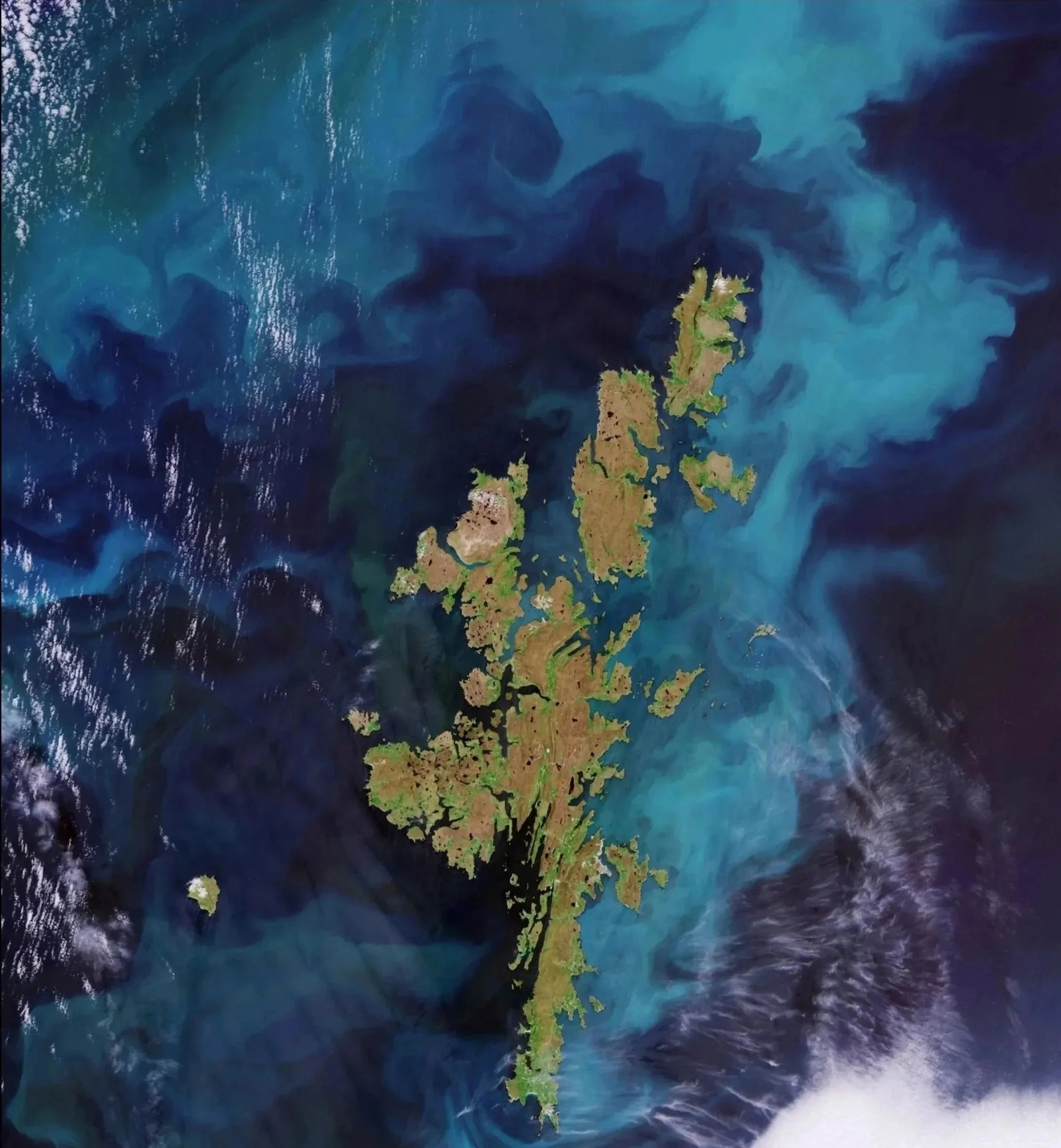
Desidera is built on a hybrid technology stack that combines satellite Earth observation, operational weather forecasts, physically- based flood modelling, and artificial intelligence.
GreenAnt uses a chain of scientific models to understand how forecasted meteorological conditions may translate into natural disasters at a specific location. Hydrological models simulate how rainfall moves through a river basin and becomes river flow. Flood inundation models simulate how water spreads across the landscape, including flood extent, water depth, and the interaction of river flooding, local rainfall, coastal water levels, and storm surge. Other models, some of which are proprietary and built on 20+ years of development and bespoke training datasets, process radar and optical satellite data for remote sensing and image analysis. Other models automate, standardize, and expedite the processing of data through Desidera’s technology stack across different geographies.
GreenAnt’s team rigorously validates and backtests Desidera’s outputs to ensure optimal reliability and accuracy.
For its disaster prediction, GreenAnt runs large libraries of historical and synthetic flood scenarios and analyzes how different combinations of rainfall, river discharge, terrain, drainage networks, soil and land cover, coastal water levels, heat days, and storm surge translate into flood depth or drought severity at a given location. These analyses allow Desidera to define its forecast-based disaster thresholds. When ingesting local weather forecasts to scan for these thresholds, it calculates the probability that a forecasted threshold will cause a drought or flood at various levels of severity.
Desidera’s outputs can be delivered through dashboards, interactive maps, automated alerts, custom reports, or APIs.
Why is Desidera different?
01
Site-specific, not regional
Most catastrophe models estimate risk across large geographic areas. Desidera provides site-specific insights.
02
Predictive, not reactive
Rather than simply monitoring ongoing events, Desidera predicts where climate impacts are likely to occur before they happen.
04
Lower basis risk in analysis
Desidera models actual local conditions instead of relying on broad regional or historical averages, reducing basis risk for insurers, governments, etc.
03
Built for today’s climate
Historical averages alone are becoming less reliable as climate patterns shift. Desidera reflects current environmental conditions rather than historical assumptions.
Every organization has different operational needs.
Desidera is designed to integrate seamlessly into existing workflows with bespoke outputs for different users and applications.
Insights can be delivered through:
Web dashboards
Interactive maps
Automated alerts
API integrations
Custom reporting tools
Whether supporting emergency response, insurance underwriting, agricultural resilience, infrastructure planning, or climate finance, Desidera transforms complex analyses into clear, actionable intelligence.
Delivering actionable intelligence
Built for the organizations shaping climate resilience
Desidera supports governments, humanitarian organizations, insurers, financial institutions, infrastructure operators, agribusinesses, and corporate risk managers seeking more precise, more actionable risk analyses.
By combining satellite technology, artificial intelligence, physical modeling, and predictive analytics, Desidera enables organizations to move beyond monitoring climate risk and to begin anticipating it.