
How GreenAnt's Desidera Platform Leverages Sentinel Satellite Technology (Part 2 of 2)
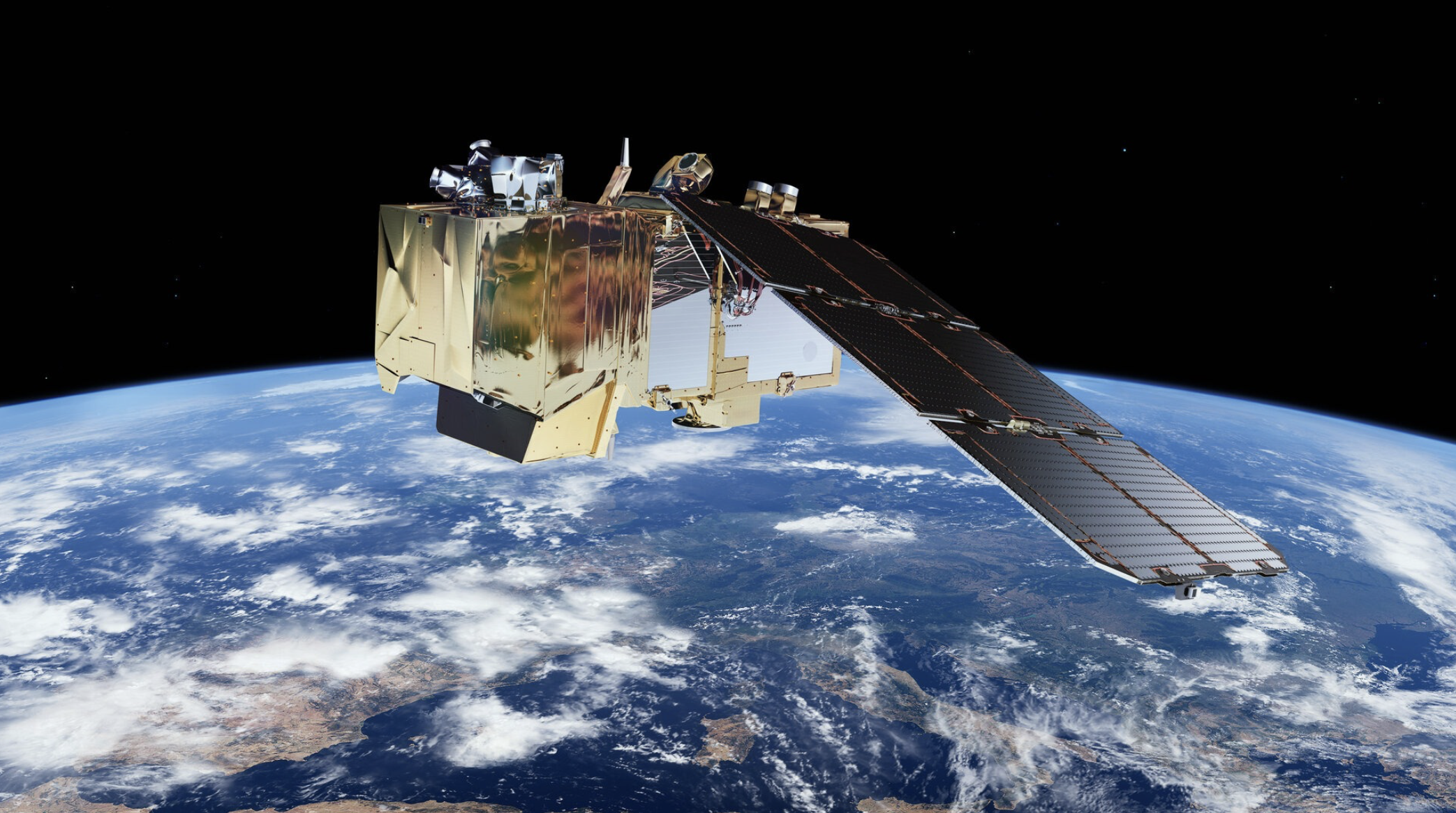
Image: ESA
Introduction
Welcome to the second and final part of our blog series on GreenAnt’s Desidera platform and its use of Sentinel satellite technology. In Part 1, we explored the technology behind Desidera, including the capabilities of Sentinel-1 and Sentinel-2 and how GreenAnt processes satellite data to deliver actionable insights. If you missed it, you can read Part 1 here.
In this second part, we’ll enumerate some of the transformative applications of Desidera, from crop monitoring and yield estimation to deforestation tracking and disaster response. Discover how GreenAnt is revolutionizing agriculture and environmental management with cutting-edge satellite technology.
Crop Monitoring
By analyzing time-series satellite image data, Desidera can monitor crop growth and health year-round. This includes:
Crop Phenology: Tracking key stages of crop development, such as germination, flowering, and senescence, and harvest readiness.
Vegetation Indices: Calculating vegetation indices, like Normalized Difference Vegetation Index (NDVI) and Normalized Difference Red Edge Index (NDRE) to assess crop vigor and stress levels.
Early Detection of Stress: Identifying early signs of stress, such as water stress or nutrient deficiencies, allowing for timely intervention.
Yield Estimation: Predicting crop yields based on factors such as vegetation health, weather conditions, and historical data.
By providing timely insights into crop growth and health, Desidera helps farmers make informed decisions about irrigation, fertilization, pest control, and other agricultural practices.
Estimating Yield Potential
Yield potential – the maximum attainable yield of a crop under optimal growing conditions – is a crucial factor in agricultural planning and decision-making. By accurately estimating yield potential, farmers can optimize resource allocation, implement efficient management practices, and ultimately boost their crop production.
Several factors influence a crop's yield potential, including:
Genotype: The genetic makeup of a crop variety, which determines its inherent yield potential.
Environmental Conditions: Climatic factors like temperature, rainfall, and sunlight significantly impact yield.
Soil Fertility: Nutrient availability and soil health play a vital role in crop growth and yield.
Management Practices: Proper irrigation, fertilization, pest control, and harvesting techniques can optimize yield.
Accurate estimation of yield potential is essential in the pursuit of several processes:
Resource Allocation: Knowing the potential yield helps farmers allocate resources like water, fertilizers, and labor efficiently.
Risk Management: By understanding potential yields, farmers can better assess risks and develop appropriate risk management strategies.
Market Planning: Accurate yield estimates aid in market planning and decision-making regarding storage, transportation, and sales.
By effectively estimating yield potential, farmers can make informed decisions that contribute to sustainable and profitable agriculture.
Early Detection of Stress or Disease
By analyzing spectral and temporal changes in satellite image data, Desidera can identify early signs of stress, which allows farmers to take timely corrective actions, such as applying pesticides or adjusting irrigation schedules.
Some of the stress and disease indicators that Desidera can detect include:
Water Stress: Identifying areas with insufficient or excessive water, leading to wilting or water logging.
Nutrient Deficiencies: Detecting nutrient imbalances, such as nitrogen or phosphorus deficiency, which can affect crop growth and yield.
Pest and Disease Outbreaks: Identifying infestations of pests or diseases, such as aphids, mildew, or rust.
Heat Stress: Monitoring temperature stress, which can lead to reduced crop productivity and quality.
By providing timely information on crop stress and disease, Desidera helps farmers protect their crops and maximize yields.
Soil Moisture Mapping
Like early stress detection, soil moisture mapping serves several functions, including:
Monitoring Soil Moisture Levels: Monitoring soil moisture levels provides valuable information about soil water content, which directly impacts plant growth and development.
Optimizing Irrigation Schedules: By monitoring soil moisture levels and plant water stress, Desidera can help farmers optimize their irrigation schedules. This involves:
Precision Irrigation: Targeting irrigation to specific areas of the field that require water, to reduce water waste. By implementing precision irrigation practices, farmers can conserve water, reduce costs, and improve crop yields.
Variable Rate Irrigation: Applying water at different rates across the field, based on the specific needs of each plant.
Reduced Irrigation Frequency: By optimizing irrigation schedules, farmers can reduce the frequency of irrigation events, saving time and labor.
Early Drought Detection
Desidera can identify areas at risk of drought by monitoring soil moisture levels and rainfall patterns overtime. This allows farmers to take proactive measures, such as:
Adjusting Planting Dates: Shifting planting dates to avoid periods of peak water stress.
Selecting Drought-Tolerant Crop Varieties: Choosing crop varieties that are more resilient to drought conditions.
Implementing Water Conservation Practices: Adopting water-saving techniques, such as mulching and drip irrigation.
By providing early warning of potential drought risks, Desidera helps farmers mitigate the impact of drought and ensure crop survival.
Deforestation and Reforestation Tracking
Not surprisingly, Desidera’s tech stack allows it to monitor changes in forest cover over time, such as:
Deforestation Detection: Identifying areas of forest loss due to human activities such as logging and agriculture.
Reforestation Monitoring: Tracking the progress of reforestation efforts and assessing the success of restoration projects.
Forest Health Assessment: Monitoring the health of forests by analyzing factors such as tree cover, biomass, and carbon sequestration.
By providing insights into forest dynamics, Desidera can support efforts to conserve forests and mitigate climate change by supporting:
Carbon Sequestration: Estimating the amount of carbon stored in forests and tracking changes overtime.
Forest Management: Identifying areas that require thinning, fertilization, or other management practices.
Fire Risk Assessment: Identifying areas at risk of wildfires based on factors such as fuel moisture content and vegetation density.
By providing insights into forest health and biomass, Desidera helps multiple stakeholders support sustainable forest management and conservation efforts.
Supporting Recovery Efforts
Its ability to provide timely and accurate information on disaster risk and damage allows Desidera to help communities recover more quickly and effectively by supporting the following:
By analyzing satellite image data, Desidera can quickly assess the extent of damage caused by floods and landslides. This information is vital for:
Emergency Response: Identifying affected areas and prioritizing relief efforts.
Damage Assessment: Estimating the extent of damage to infrastructure, crops, and property.
Insurance Claims: Providing accurate information to support insurance claims.
Recovery Planning: Developing effective recovery and reconstruction plans.
Sentinel image data also enables Desidera to assess the extent of damage to infrastructure, crops, and forests in the wake of other natural disasters as well. This information can be used to:
Prioritize Relief Efforts: Identify the most affected areas and allocate resources accordingly.
Estimate Economic Losses: Assess the financial impact of the disaster on local communities and economies.
Inform Recovery and Reconstruction Planning: Develop effective strategies for rebuilding and restoring damaged infrastructure.
Conclusion
GreenAnt’s Desidera platform harnesses the power of Sentinel satellite technology to revolutionize agriculture and environmental monitoring. By providing actionable insights into crop health, soil moisture, deforestation, and disaster response, Desidera empowers stakeholders to make informed decisions and build a more sustainable future.
As we continue to innovate, GreenAnt remains committed to developing cutting-edge solutions that address the challenges of modern agriculture and environmental management. To learn more about how Desidera can benefit your business, visit our website or contact our team today. Together, let’s create a more sustainable and resilient future.